Earthquake 18 km Southeast of Martuni City. Magnitude Recorded at 3.0
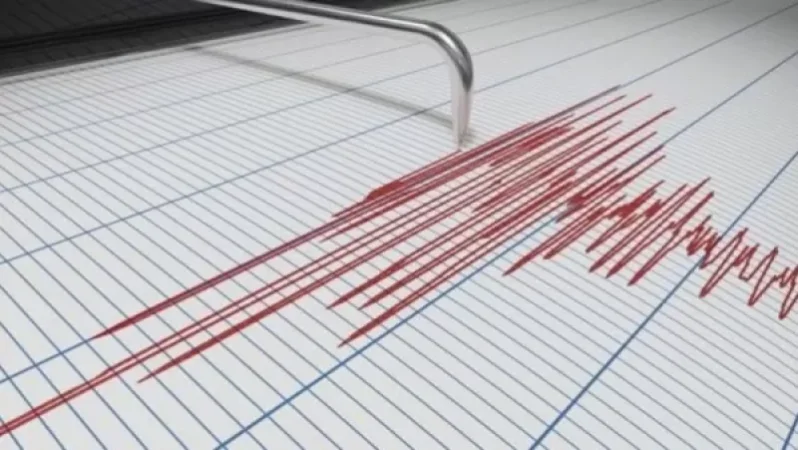
On May 1, at 08:18 local time (04:18 GMT), the Seismic Protection Territorial Service of the Ministry of Emergency Situations of Armenia recorded an earthquake at geographical coordinates 40.01°N latitude and 45.44°E longitude, 18 km southeast of Martuni city, at a depth of 10 km, with a magnitude of 2.3.
According to the Ministry of Emergency Situations, the intensity of the underground tremor in the epicentral zone was recorded at 3.0 magnitudes.
The earthquake was felt in the villages of Aghnjadzor, Artabuynk, Taratum, Hors, Sali, and Karaglukh in the Vayots Dzor province, with intensity between 2-3 magnitudes.
Նմանատիպ հոդվածներ

Weather in Armenia
Throughout the Republic, on May 1-2 and the 5th, rain and thunderstorms are expected intermittently across all regions,...

A Car License Plate Sold for Over $10 Million in Dubai
A new world record has been set for the price of a car license plate in the United Arab Emirates, according to TASS. The...

Storm Warning: Intense Thunderstorms, Strong Winds, and Possible Hail Expected in Armenia
In Armenia, on May 2, significant areas will experience short-term rain and thunderstorms in the afternoon, with a highe...

Video: The World's Largest Airplane Successfully Completes Its Second Flight
The Stratolaunch airplane, which resembles two aircraft joined by a very long wing, flew for more than three hours at an...
Ավելին Other բաժնից

Temperatures Up to +40°C and High Fire Risk: Weather Forecast for Armenia

14:00 News in Brief: Yerevan State University is the Most Demanded University, Malishka's 'Ghost' Still Being Sought, Baku Complains to Moscow

13:00 News Brief: New Crime Trends in Armenia, Decline in Trump's Ratings in the USA