Earthquake: Tremors Reported in Armenia
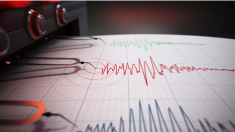
Today, at 12:41 PM local time (08:41 AM GMT), a 3.8 magnitude earthquake was recorded by the Seismological Network of the Ministry of Emergency Situations of Armenia at a depth of 10 km, with geographic coordinates of 38.97° N latitude and 46.67° E longitude, in the Iran-Azerbaijan-Armenia border area, 65 km northwest of the city of Ahar.
The intensity of the underground tremors in the epicentral zone reached 5 on the scale. The earthquake was felt in several towns of the Syunik Province, including Meghri, Kapan, Kajaran, and Agarak, as well as in the villages of Alvank, Shvanidzor, Nrnadzor, and Nerkin Hand, with an intensity of 3.
Նմանատիպ հոդվածներ

Doctors Halt Work for Nearly 2 Hours, Situation May Escalate: What is Happening at Artashat Hospital
The situation at Artashat Hospital is tense and may worsen further, as salaries amounting to approximately 500-600 milli...

Chicken Meat, Butter: What Was Discovered in Food Sent to 146 Kindergartens
The Yerevan Municipality has significantly increased its oversight on food supplied to kindergartens in Yerevan. This wa...

Who Will Be Able to Use Public Transport for Free or at a Discount
The press secretary of the Mayor of Yerevan, Hayk Kostanyan, has presented a package of privileges for public transport...
Strong Earthquake in Azerbaijani Territory Felt in Several Cities of Armenia
On November 23, at 12:10 local time (08:10 GMT), a magnitude 4.3 earthquake with a depth of 10 km was recorded in Azerba...
Ավելին Society բաժնից

Weather to Change Dramatically: Temperature to Decrease by 5–7 Degrees

Ministerial Funding Withdrawn for 'Monte' Film

Ruble Depreciates: Currency Exchange Rates as of August 26