Earthquake 18 km North of Jermuk
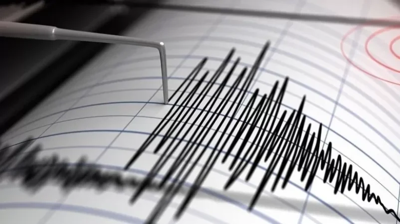
On October 11 at 4:00 PM local time (12:00 PM GMT), an earthquake was recorded with a magnitude of 3.0 at a depth of 10 km, located at geographical coordinates 39.98° N latitude and 45.65° E longitude, 18 km north of the city of Jermuk, Azerbaijan-Armenia region. This was reported by the Ministry of Emergency Situations of Armenia.
The intensity of the aftershock in the epicentral zone reached 4 points. The earthquake was felt in the town of Jermuk in the Vayots Dzor region, as well as in the villages of Kndevaz and Kecut, with an intensity of 2-3 points, and in the village of Karchaghbyur in the Gegharkunik region, with an intensity of 2 points.
Նմանատիպ հոդվածներ

A Yerevan School Refuses Admission to a Child from Artsakh
In the wake of Azerbaijan's recent atrocities, the entire Republic of Artsakh has been depopulated, leaving people in an...

Soldier Whose Heartbeat Was Restored Regains Consciousness
A soldier named Narek Poghosyan, who was wounded by enemy gunfire in the direction of positions located in the Sotk area...

Is Traveling to Egypt Dangerous at This Time? Comments from the Armenian Foreign Ministry
Recent developments in the Palestine-Israel conflict have raised concerns among Armenian citizens who had previously pla...
Incident in Yeraskh Unrelated to Desecration of State Symbols, Investigative Committee Clarifies
The mentioned incident is unrelated to the desecration of state symbols, as it concerns the damage to banners depicting...
Ավելին Society բաժնից
Clarifications from the Penitentiary Service Regarding Reports of Inmate Beatings in 'Nubarashen' Prison
Mother See Denies Pashinyan: "Karekin II Has Not Sent Any Delegation to Any Community"

Under the Demands of the Mother See, Father Taden and His Wife to be Evicted from Church Property in Talin