New Earthquake in Iran-Turkey Border Area, Felt in Yerevan at 3-4 Magnitude
On February 23, at 20:00 local time (16:00 GMT), an earthquake was recorded by the Seismic Protection Territorial Service of the Ministry of Emergency Situations of Armenia at geographical coordinates 38.180° N latitude and 44.420° E longitude, in the Iran-Turkey border region, 30 km west of Salmas, at a depth of 10 km. The earthquake had a magnitude of 5.9.
The intensity of the tremors in the epicentral region was recorded at 8 magnitude. The earthquake was felt in Yerevan at a magnitude of 3-4, and with a magnitude of 4 in the Ararat, Syunik, and Vayots Dzor regions.
According to the news agency RIA Novosti, the earthquake has resulted in 9 fatalities and over 75 injuries.
Նմանատիպ հոդվածներ
Breaking: Earthquake in Iran Felt in Yerevan
On February 23, at 09:53 local time (05:53 GMT), the Seismic Protection Territorial Service of the Ministry of Emergency...

Video: Doctors in Yerevan Remove Driver from Iranian-Plated Truck and Put on Mask
In Yerevan, near the Nairit factory, medical personnel in special protective gear removed a driver from a truck with Ira...
Six Cars Collide in Zovuni, Including Routes 269 and 30
Today, on February 18, a major chain collision occurred in the Kotayk region due to icy road conditions. Around 08:30, v...
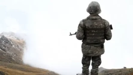
Emergency: Criminal Case Launched Following Soldiers' Deaths from Gunshot Wounds to Head
On February 12, 2020, at around 11:30 AM, a criminal case has been initiated in the second garrison investigative depart...
Ավելին Incidents բաժնից
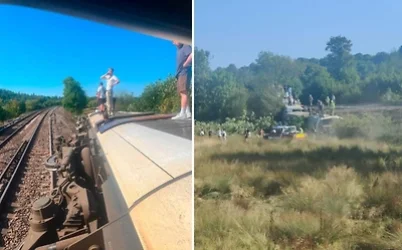
Three Train Carriages Derail in Great Britain, 11 Injured
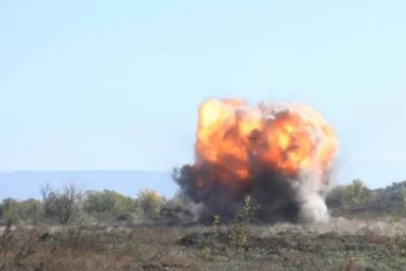
A Mine Explodes Under a 73-Year-Old Man's Feet in Kelbajar
5,5 Thousand Cubic Meters of Mineral Material and Loaded Trucks: Illegal Extraction Case Discovered in Meghri