Earthquake 12 km Southeast of Kapan City: Ministry of Emergency Situations
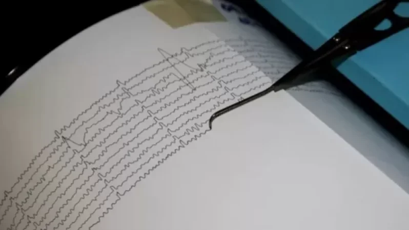
On January 16, at 07:25 local time (03:25 GMT), the seismic monitoring network of the Ministry of Emergency Situations of Armenia recorded an earthquake in the border area between Azerbaijan and Armenia, located 12 km southeast of Kapan city in the Syunik region at geographical coordinates 39.14°N latitude and 46.52°E longitude. The epicenter of the earthquake was at a depth of 10 km with a magnitude of 4.3.
The intensity of the ground shaking in the epicentral area reached 5-6 on the Richter scale. The earthquake was felt in Kapan city and several surrounding villages in the Syunik region with an intensity of 4-5, while in Vayots Dzor region, the cities of Vayk and Yeghegnadzor, as well as Stepanakert in the Republic of Artsakh, experienced intensities between 3-4.
Նմանատիպ հոդվածներ

No Significant Damage: Gevorg Parsyan on the Aftermath of the Kapan Earthquake
A strong earthquake occurred this morning in the city of Kapan. It is noteworthy that this is the second earthquake that...

IDBank Warns: Protect Your Personal Data
Recently, individuals have been contacting various people via the Facebook social network, promoting the Idram wallet. A...

Roads Closed and Impassable in Armenia: Ministry of Emergency Situations
The Ministry of Emergency Situations informs that there are closed and impassable roads in the territory of Armenia. The...

Four New Cases of Coronavirus Disease Registered in Artsakh
On January 15, 83 tests were conducted, resulting in the registration of four new cases of coronavirus disease in Artsak...
Ավելին Society բաժնից

The Supreme Patriarch and Bishops to Attend First Court Hearing

This May Lead to Permanent Visa Ban in the U.S. Says U.S. Embassy in Armenia

Microsoft Reports On Global Hotel Wi-Fi Network Cyber Attack