The Distance of Voskepar Church and Kiran School from the Azerbaijani Border
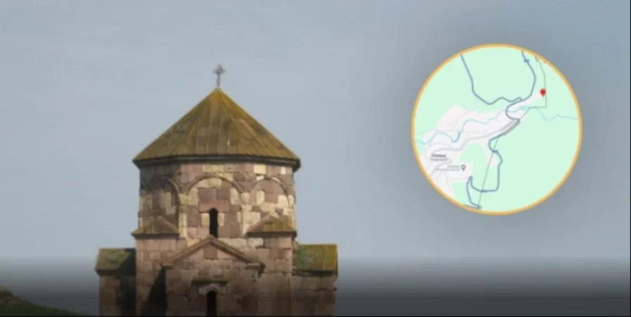
The Fact-Checking Platform has reported that the Armenian-Azerbaijani border, subject to demarcation in Tavush, as presented on Google Maps, aligns with the map created by the Soviet Union’s General Staff in 1976 regarding the administrative boundaries of Soviet Armenia and Soviet Azerbaijan.
FIP.am sought to understand where the medieval Armenian Voskepar Church and Kiran School would stand as a result of this demarcation. The Voskepar Surb Astvatsatsin Church, built in the 6th-7th centuries, remains on the Armenian side according to the General Staff map; however, it is located merely 10-20 meters from the Azerbaijani border.
Similarly, both the General Staff map and Google Maps indicate that Kiran School is situated approximately 360 meters directly away from the border with Azerbaijan.
Thus, following the demarcation based on the 1976 General Staff maps, although Voskepar Church and Kiran School remain on the Armenian side, they are only a minimal distance from the Azerbaijani border. For further details, visit the original source site.
Նմանատիպ հոդվածներ

Chakhoyan on 'Nikol Traitor' Chants Near Tsitsernakaberd with Prime Minister's Wife and Daughter
The attackers of the Prime Minister's wife and their young daughter have shown no regard for any sacred values. This was...

Kirants Administrative Head Reveals New Details After Meeting with Pashinyan
“I am not resigning; there is no need for that, but I am standing by the people of my village until the end,” said Kamo...
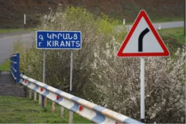
Kiran Administrative Leader Wants to Resign: The Reason is Known
The administrative leader of Kiran in the Tavush province has announced his intention to resign. Kamо Shahinyan, the adm...
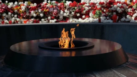
Which Countries Recognized the Armenian Genocide
The fact of the Armenian Genocide carried out by the Ottoman government has been corroborated, recognized, and establish...
Ավելին Politics բաժնից

Pashinyan, Aliyev, and Erdogan to Participate in Bishkek Summit

Araghchin on the Use of US Military Bases in Japan

The West Effectively Implements External Control Over Kyiv, Says Galuzin