Earthquake in Armenia: What Was the Magnitude of the Tremors?
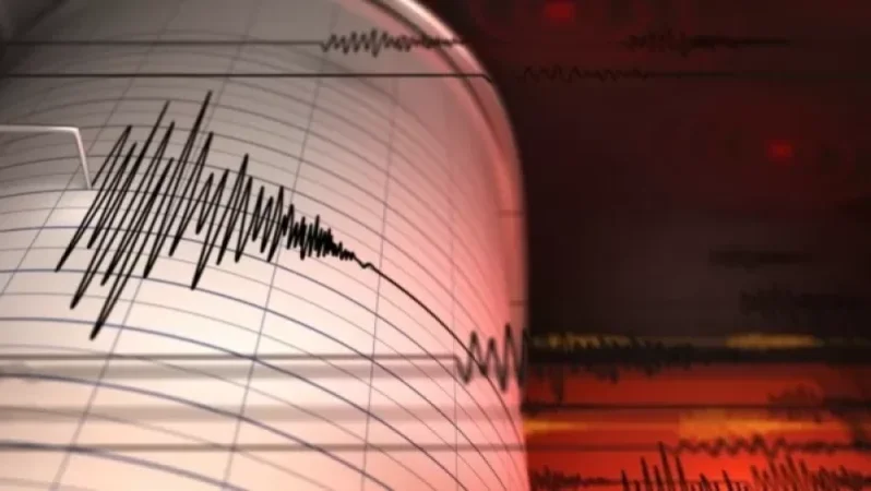
On July 5, at 00:33 local time (20:33 GMT on July 4), an earthquake was recorded by the Seismic Protection Territorial Service of the Ministry of Emergency Situations of Armenia. The coordinates were 41.04° North latitude and 43.99° East longitude, occurring 11 km east of the village of Ashotzk, at a depth of 10 km, with a magnitude of 2.4.
The intensity of the underground tremors in the epicentral zone was measured at 3 on the Richter scale.
Նմանատիպ հոդվածներ

Azerbaijani Soldiers Hit Civilian Car in Yeghipuli Village Area
In the area of Yeghipuli village along the Yerevan-Jeraskh-Yeghegnadzor highway, Azerbaijani soldiers have targeted a ci...
Another Earthquake in Bavra: Where It Was Felt
On July 11, at 22:25 local time (18:25 GMT), the Seismic Protection Territorial Service of the Ministry of Emergency Sit...

Video: Fatal Shot. Shinzo Abe Turns Towards the Shooter. Details
A video has surfaced showing the moment of the fatal shot fired at former Japanese Prime Minister Shinzo Abe. The first...

CEO of Gazprom Contractor Found Dead
Astrakhan, Russia - The body of Yuri Voronov, the founder and head of Astra-Shipping, a contractor for Gazprom, has been...
Ավելին Incidents բաժնից

Explosion at Gas Station: Ministry of Emergency Situations Responds

Giant Dead Tree Uprooted on Alek Manukyan Street Falls on Car

Mass Power Outages in Georgia