Earthquake in Armenia
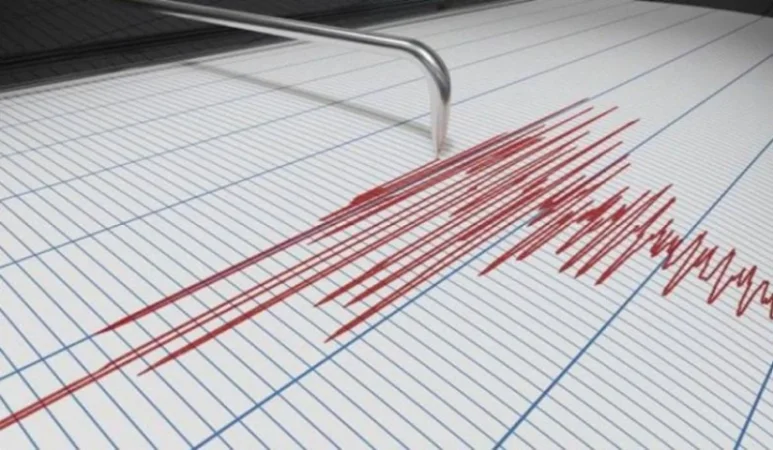
On May 1, at 07:47 local time (03:47 GMT), an earthquake was registered by the Seismic Protection Territorial Service of the Ministry of Emergency Situations of the Republic of Armenia. The earthquake was located at a geographical coordinate of 40.25° north latitude and 45.20° east longitude, 13 km southeast of the city of Gavar, at a depth of 10 km, with a magnitude of 2.8.
The intensity of the underground tremor in the epicentral area was measured at 3-4 points. The earthquake was felt in the towns of Gavar and Martuni in the Gegharkunik Province, as well as in the villages of Yeranos, Vardadzor, Dzoragukh, Sarukhanyan, and Lanjaghbyur, registering an intensity of 2-3 points.
Նմանատիպ հոդվածներ

Dollar Has Decreased, Ruble Has Appreciated: Exchange Rates Today
Rate.am presents the exchange rates as of April 29: The maximum value for buying the US dollar has been set at 386.17 AM...

Demolition of Gevorg Tamanyan's Building in Central Yerevan
For several days now, a building designed by Gevorg Tamanyan has been demolished in the center of Yerevan, morning, noon...

Heavy Rain Expected: Weather Forecast
In the territory of the Republic of Armenia, from the night of May 2 to May 4, sporadic rain and thunderstorms are expec...

Power Outages in Yerevan and Surrounding Regions
The Armenian Electric Networks company has announced that on May 2, scheduled maintenance work will temporarily disrupt...
Ավելին Society բաժնից

NASA and ESO Confirm Falcon 9 Upper Stage Crash on Moon Surface

VIDEO: This Trial is Failed – Ishkhanyan from Baku Prison

The Supreme Patriarch and Bishops to Attend First Court Hearing