Earthquake in Armenia
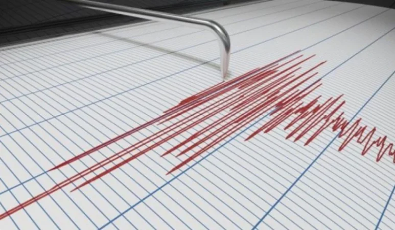
On October 2 of this year, at 08:38 local time (04:38 GMT), the Seismic Protection Territorial Service of the Ministry of Emergency Situations of the Republic of Armenia registered an earthquake at geographical coordinates 41.06° N latitude and 44.27° E longitude. The epicenter was located 11 km northwest of the city of Stepanavan, at a depth of 10 km, with a magnitude of 3.4. This information was reported by the RA Ministry of Emergency Situations.
The statement added, “The intensity of the underground shock in the epicentral zone was measured at 4-5 on the Richter scale. The earthquake was felt in the towns of Stepanavan and Tashir in Lori Province, as well as in the villages of Mdzavan, Katnarat, and Privolnoye, with an intensity of 3-4.”
Նմանատիպ հոդվածներ

Salary Increases Expected, Andreasian Detailed
Salary increases are anticipated for lecturers and production masters at vocational educational institutions. This decis...

New Details Regarding the Death of a 4-Year-Old Child: Investigative Committee
A criminal case has been initiated in connection with the death of a 4-year-old child, categorized as sudden death. This...

4-Year-Old Girl Passes Away: Details
A 4-year-old girl has died at the Arabkir Medical Center. According to the Ministry of Health, there are no signs of vio...

When Are New Bus Routes Expected to Start?
171 new 8.6-meter buses and 15 trolleybuses have already arrived in Armenia, as stated by Yerevan's Deputy Mayor Suren G...
Ավելին Society բաժնից

New Criminal Prosecution: The Prosecutor's Office on the Case of Gagik Khachatryan

Revealed Who Organized Tupac Shakur's Murder
The Area Belongs to the State, It Must Be Demolished: Shengavit Resident